Pond
Introduction
The photograph on this page of Pond by Bill Henderson as part of the Geograph project.
The Geograph project started in 2005 with the aim of publishing, organising and preserving representative images for every square kilometre of Great Britain, Ireland and the Isle of Man.

There are currently over 7.5m images from over 14,400 individuals and you can help contribute to the project by visiting https://www.geograph.org.uk
Pond
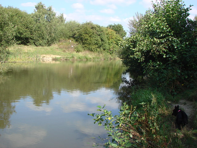
Image: © Bill Henderson Taken: 11 Sep 2007
This pond skirts the northern side of the old disused railway line from Upton Colliery.
Images are licensed for reuse under creativecommons.org/licenses/by-sa/2.0
Image Location
Latitude
53.612205
Longitude
-1.281689