16thC town houses, at Port Brae
Introduction
The photograph on this page of 16thC town houses, at Port Brae by M J Richardson as part of the Geograph project.
The Geograph project started in 2005 with the aim of publishing, organising and preserving representative images for every square kilometre of Great Britain, Ireland and the Isle of Man.

There are currently over 7.5m images from over 14,400 individuals and you can help contribute to the project by visiting https://www.geograph.org.uk
16thC town houses, at Port Brae
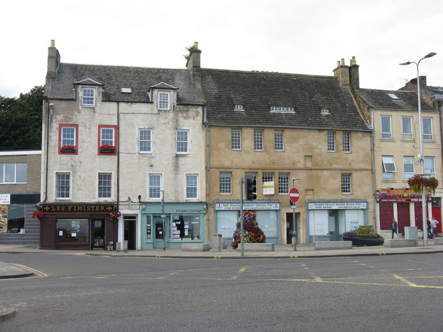
Image: © M J Richardson Taken: 2 Sep 2017
At the northern end of the High Street, and little changed from when Jim Bain visited 11 years earlier, apart from some premises changing hands Image http://portal.historicenvironment.scot/designation/LB36354
Images are licensed for reuse under creativecommons.org/licenses/by-sa/2.0
Image Location
Latitude
56.11355
Longitude
-3.154433