River Lea Navigation, Lea Bridge
Introduction
The photograph on this page of River Lea Navigation, Lea Bridge by Chris Heaton as part of the Geograph project.
The Geograph project started in 2005 with the aim of publishing, organising and preserving representative images for every square kilometre of Great Britain, Ireland and the Isle of Man.

There are currently over 7.5m images from over 14,400 individuals and you can help contribute to the project by visiting https://www.geograph.org.uk
River Lea Navigation, Lea Bridge
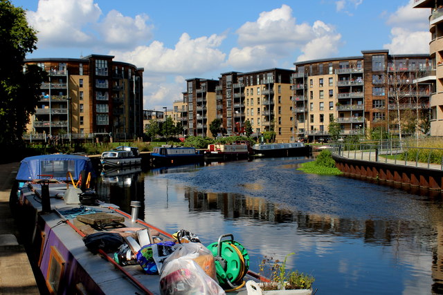
Image: © Chris Heaton Taken: 1 Sep 2017
The river and navigation canal are conjoined at this point - the waterway wending its way through a tidily arranged new development of apartments.
Images are licensed for reuse under creativecommons.org/licenses/by-sa/2.0
Image Location
Latitude
51.563099
Longitude
-0.047296