Drumlin top farmhouse on the west side of the A22
Introduction
The photograph on this page of Drumlin top farmhouse on the west side of the A22 by Eric Jones as part of the Geograph project.
The Geograph project started in 2005 with the aim of publishing, organising and preserving representative images for every square kilometre of Great Britain, Ireland and the Isle of Man.

There are currently over 7.5m images from over 14,400 individuals and you can help contribute to the project by visiting https://www.geograph.org.uk
Drumlin top farmhouse on the west side of the A22
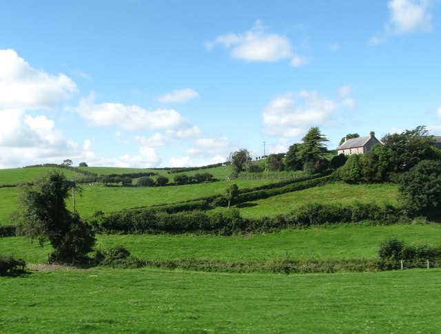
Image: © Eric Jones Taken: 30 Aug 2017
This is located about a mile north of Toye Orange Hall.
Images are licensed for reuse under creativecommons.org/licenses/by-sa/2.0
Image Location
Latitude
54.435007
Longitude
-5.6619