Buildings at the north end of The Green, West Drayton
Introduction
The photograph on this page of Buildings at the north end of The Green, West Drayton by Mike Quinn as part of the Geograph project.
The Geograph project started in 2005 with the aim of publishing, organising and preserving representative images for every square kilometre of Great Britain, Ireland and the Isle of Man.

There are currently over 7.5m images from over 14,400 individuals and you can help contribute to the project by visiting https://www.geograph.org.uk
Buildings at the north end of The Green, West Drayton
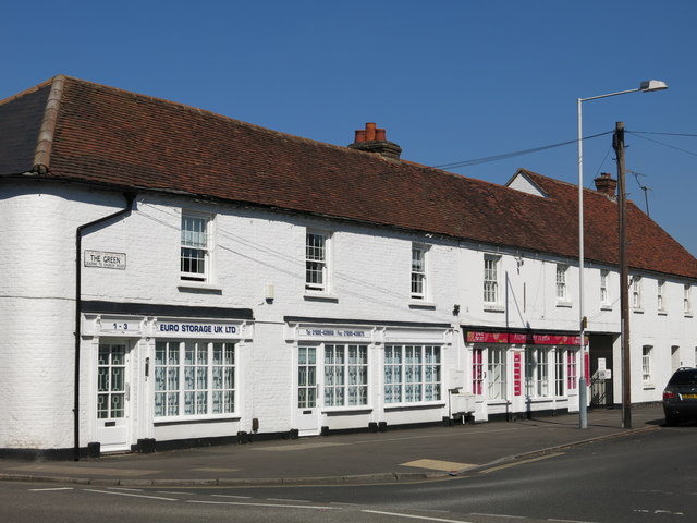
Image: © Mike Quinn Taken: 5 Jul 2017
The old street sign (left) was put there by the "UD of Yiewsley and West Drayton" - abolished in 1965 when the GLC was created, and now forms part of the London Borough of Hillingdon https://en.wikipedia.org/wiki/Yiewsley_and_West_Drayton_Urban_District .
Images are licensed for reuse under creativecommons.org/licenses/by-sa/2.0
Image Location
Latitude
51.504698
Longitude
-0.475295