Limehouse Cut
Introduction
The photograph on this page of Limehouse Cut by Chris Heaton as part of the Geograph project.
The Geograph project started in 2005 with the aim of publishing, organising and preserving representative images for every square kilometre of Great Britain, Ireland and the Isle of Man.

There are currently over 7.5m images from over 14,400 individuals and you can help contribute to the project by visiting https://www.geograph.org.uk
Limehouse Cut
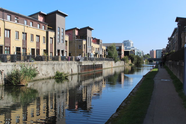
Image: © Chris Heaton Taken: 1 Sep 2017
Opened in around 1777, this short stretch of canal can be seen stretching north eastwards towards the Lea Navigation. It connects with the Limehouse Basin, which in turn gives access to the River Thames.
Images are licensed for reuse under creativecommons.org/licenses/by-sa/2.0
Image Location
Latitude
51.517747
Longitude
-0.018679