House on Church Street, Steeple Bumpstead
Introduction
The photograph on this page of House on Church Street, Steeple Bumpstead by JThomas as part of the Geograph project.
The Geograph project started in 2005 with the aim of publishing, organising and preserving representative images for every square kilometre of Great Britain, Ireland and the Isle of Man.

There are currently over 7.5m images from over 14,400 individuals and you can help contribute to the project by visiting https://www.geograph.org.uk
House on Church Street, Steeple Bumpstead
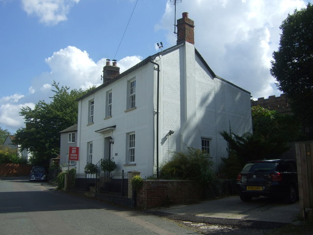
Image: © JThomas Taken: 2 Sep 2017
Hands Off Steeple Bumpstead placard refers to an opposition group against a proposed development of 95 houses off Finchingfield Road.
Images are licensed for reuse under creativecommons.org/licenses/by-sa/2.0
Image Location
Latitude
52.04261
Longitude
0.446304