Alexandra Road, Swindon
Introduction
The photograph on this page of Alexandra Road, Swindon by Jaggery as part of the Geograph project.
The Geograph project started in 2005 with the aim of publishing, organising and preserving representative images for every square kilometre of Great Britain, Ireland and the Isle of Man.

There are currently over 7.5m images from over 14,400 individuals and you can help contribute to the project by visiting https://www.geograph.org.uk
Alexandra Road, Swindon
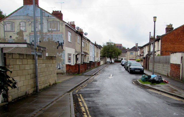
Image: © Jaggery Taken: 3 Sep 2017
From Station Road along Alexandra Road towards Haydon Street viewed in early September 2017. The faded, or perhaps defaced, mural on the left was painted in 1979. It depicts a street scene outside Swindon Junction railway station at the start of the 20th century. Swindon Junction was the name of the present-day Swindon railway station from its opening in 1842 until 1961, when Swindon Town station closed.
Images are licensed for reuse under creativecommons.org/licenses/by-sa/2.0
Image Location
Latitude
51.565294
Longitude
-1.782252