View across to New House Farm
Introduction
The photograph on this page of View across to New House Farm by Robert Graham as part of the Geograph project.
The Geograph project started in 2005 with the aim of publishing, organising and preserving representative images for every square kilometre of Great Britain, Ireland and the Isle of Man.

There are currently over 7.5m images from over 14,400 individuals and you can help contribute to the project by visiting https://www.geograph.org.uk
View across to New House Farm
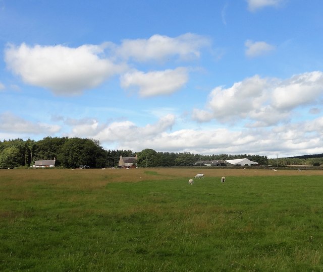
Image: © Robert Graham Taken: 16 Aug 2017
Looking west from the A68. The name could refer to a farm created after enclosure of the common land, possibly the 1771 enclosure of Bolbeck Common.
Images are licensed for reuse under creativecommons.org/licenses/by-sa/2.0
Image Location
Latitude
54.879397
Longitude
-1.946511