Former school, Minterne Magna
Introduction
The photograph on this page of Former school, Minterne Magna by Derek Harper as part of the Geograph project.
The Geograph project started in 2005 with the aim of publishing, organising and preserving representative images for every square kilometre of Great Britain, Ireland and the Isle of Man.

There are currently over 7.5m images from over 14,400 individuals and you can help contribute to the project by visiting https://www.geograph.org.uk
Former school, Minterne Magna
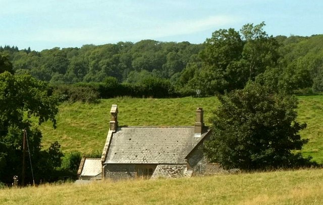
Image: © Derek Harper Taken: 28 Aug 2017
To be honest, the school house is more clearly seen in Image, but this is a closer view. "School, now house, dated 1860" https://www.historicengland.org.uk/listing/the-list/list-entry/1118816 . It stands beside the A352; the view is from footpath S31 13 as it crosses Minterne Park. The wood in the background is Minterne Seat Coppice.
Images are licensed for reuse under creativecommons.org/licenses/by-sa/2.0
Image Location
Latitude
50.844124
Longitude
-2.489819