Yewtree Farmhouse, Sandon
Introduction
The photograph on this page of Yewtree Farmhouse, Sandon by Alan Murray-Rust as part of the Geograph project.
The Geograph project started in 2005 with the aim of publishing, organising and preserving representative images for every square kilometre of Great Britain, Ireland and the Isle of Man.

There are currently over 7.5m images from over 14,400 individuals and you can help contribute to the project by visiting https://www.geograph.org.uk
Yewtree Farmhouse, Sandon
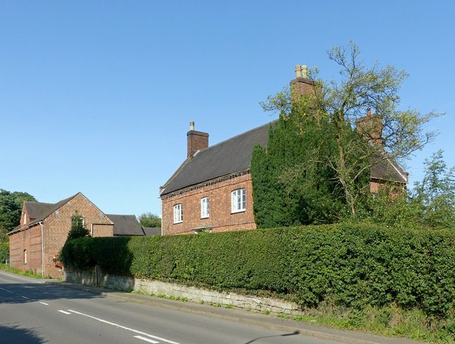
Image: © Alan Murray-Rust Taken: 23 Aug 2017
Typical late 18th century farmhouse in red brick, rather hiding behind its hedge and an eponymous tree. Listed Grade II.
Images are licensed for reuse under creativecommons.org/licenses/by-sa/2.0
Image Location


Leaflet Map data © OpenStreetMap
Latitude
52.868171
Longitude
-2.080919