Track near Olrig House
Introduction
The photograph on this page of Track near Olrig House by Phil Williams as part of the Geograph project.
The Geograph project started in 2005 with the aim of publishing, organising and preserving representative images for every square kilometre of Great Britain, Ireland and the Isle of Man.

There are currently over 7.5m images from over 14,400 individuals and you can help contribute to the project by visiting https://www.geograph.org.uk
Track near Olrig House
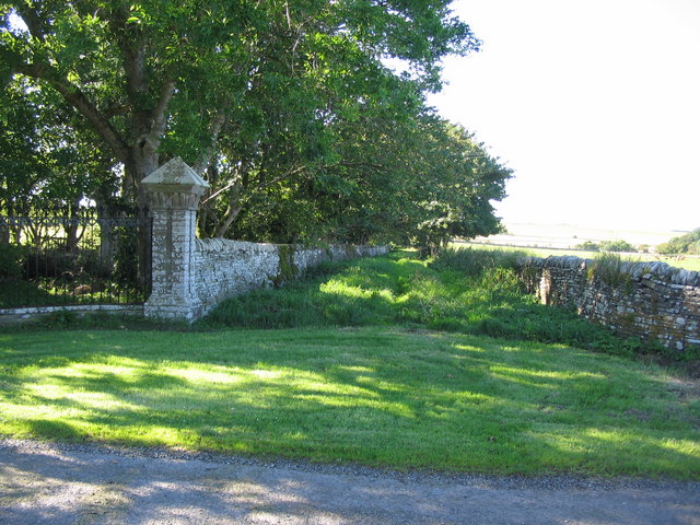
Image: © Phil Williams Taken: 27 Aug 2007
A view looking to the northwest along the track running along the outer perimeter wall of the grounds of Olrig House.
Images are licensed for reuse under creativecommons.org/licenses/by-sa/2.0
Image Location
Latitude
58.580531
Longitude
-3.396243