Gilwern Village Hall
Introduction
The photograph on this page of Gilwern Village Hall by Jaggery as part of the Geograph project.
The Geograph project started in 2005 with the aim of publishing, organising and preserving representative images for every square kilometre of Great Britain, Ireland and the Isle of Man.

There are currently over 7.5m images from over 14,400 individuals and you can help contribute to the project by visiting https://www.geograph.org.uk
Gilwern Village Hall
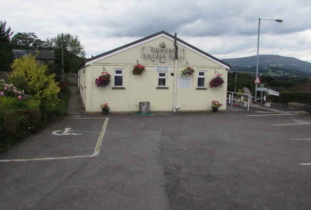
Image: © Jaggery Taken: 13 Aug 2017
Set back from Crickhowell Road, the hall extends away from the camera for 25 metres (about 80 feet). The hall is also known as Gilwern War Memorial Hall. The village War Memorial http://www.geograph.org.uk/photo/5521042 is on the right.
Images are licensed for reuse under creativecommons.org/licenses/by-sa/2.0
Image Location


Leaflet Map data © OpenStreetMap
Latitude
51.825285
Longitude
-3.093998