Hill climb by the M23
Introduction
The photograph on this page of Hill climb by the M23 by Robin Webster as part of the Geograph project.
The Geograph project started in 2005 with the aim of publishing, organising and preserving representative images for every square kilometre of Great Britain, Ireland and the Isle of Man.

There are currently over 7.5m images from over 14,400 individuals and you can help contribute to the project by visiting https://www.geograph.org.uk
Hill climb by the M23
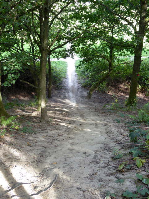
Image: © Robin Webster Taken: 28 Aug 2017
Biker use of the surprisingly high and steep embankment built to carry a path from a bridge over the M23. The official path splits north and south to descend by concrete ramps of modest slope.
Images are licensed for reuse under creativecommons.org/licenses/by-sa/2.0
Image Location
Latitude
51.137703
Longitude
-0.138917