Furze Field
Introduction
The photograph on this page of Furze Field by Simon Carey as part of the Geograph project.
The Geograph project started in 2005 with the aim of publishing, organising and preserving representative images for every square kilometre of Great Britain, Ireland and the Isle of Man.

There are currently over 7.5m images from over 14,400 individuals and you can help contribute to the project by visiting https://www.geograph.org.uk
Furze Field
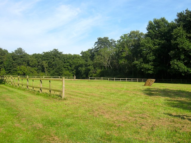
Image: © Simon Carey Taken: 28 Aug 2017
The name of the field according to Angmering's 1839 tithe map that is located to the east of Swillage Lane, north and west of Fox Rough and south of Image
Images are licensed for reuse under creativecommons.org/licenses/by-sa/2.0
Image Location
Latitude
50.844044
Longitude
-0.478039