All Hallows Parish Centre, Miskin
Introduction
The photograph on this page of All Hallows Parish Centre, Miskin by Jaggery as part of the Geograph project.
The Geograph project started in 2005 with the aim of publishing, organising and preserving representative images for every square kilometre of Great Britain, Ireland and the Isle of Man.

There are currently over 7.5m images from over 14,400 individuals and you can help contribute to the project by visiting https://www.geograph.org.uk
All Hallows Parish Centre, Miskin
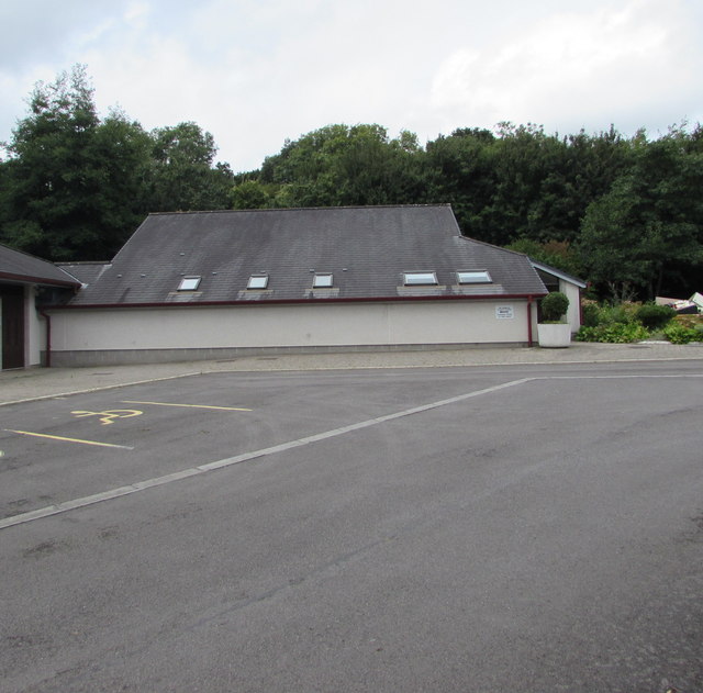
Image: © Jaggery Taken: 29 Aug 2017
Church hall on the northeast side of this http://www.geograph.org.uk/photo/5518469 Roman Catholic church.
Images are licensed for reuse under creativecommons.org/licenses/by-sa/2.0
Image Location
Latitude
51.522144
Longitude
-3.371103