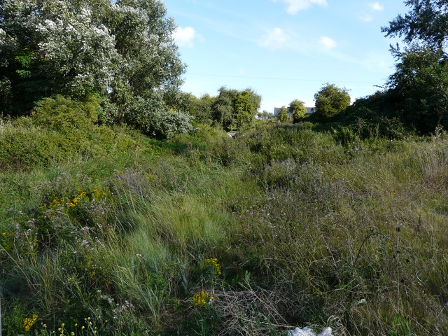
Looking SE along a former railway line
Introduction
The photograph on this page of Looking SE along a former railway line by John Baker as part of the Geograph project.
The Geograph project started in 2005 with the aim of publishing, organising and preserving representative images for every square kilometre of Great Britain, Ireland and the Isle of Man.
There are currently over 7.5m images from over 14,400 individuals and you can help contribute to the project by visiting https://www.geograph.org.uk

Image: © John Baker Taken: 30 Jul 2017
This was the alignment of a railway line, which the Royal Engineers built from 'Weatherlees Junction' on the SECR. The line ran along the north side of the derelict power station (now known as Image) (pace recent publications, this line was not the same as the power station spur), crossed the Thanet to Sandwich road just north of the filling stations, at the location of the Image and arrived at the New Quay behind Pfizer's sports ground. It then ran down the east side of the road, crossed the Stonar Cut and split in two at the Red Lion pub, about where the entrance to the recycling plant now is. One branch crossed the road, and both ran along the road verges to army camps where Pfizer's now is. The eastern branch also served Pierson's Quay. Some anonymous army official coined the name 'Richborough Port' http://www.disused-stations.org.uk/r/richborough_port/index1.shtml

