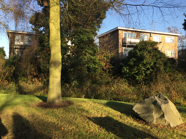
Short blocks of flats, St John's Court, Weston Close, Warwick
Introduction
The photograph on this page of Short blocks of flats, St John's Court, Weston Close, Warwick by Robin Stott as part of the Geograph project.
The Geograph project started in 2005 with the aim of publishing, organising and preserving representative images for every square kilometre of Great Britain, Ireland and the Isle of Man.
There are currently over 7.5m images from over 14,400 individuals and you can help contribute to the project by visiting https://www.geograph.org.uk

Image: © Robin Stott Taken: 1 Dec 2016
The L-shaped St John's Court site has mainly long blocks: see Image In the southwest corner of the site are three short blocks, two of which are pictured. The development first appears on an OS map of 1968-71. Hidden by the grassy bank is St John's Brook. The viewpoint is the path between St Nicholas Park and St John's House Museum. Staff have used the limited space to tell passing visitors an environmental story, in which some incongruous rocks play a part.

