Steps up from the Old Rufford Road
Introduction
The photograph on this page of Steps up from the Old Rufford Road by norman griffin as part of the Geograph project.
The Geograph project started in 2005 with the aim of publishing, organising and preserving representative images for every square kilometre of Great Britain, Ireland and the Isle of Man.

There are currently over 7.5m images from over 14,400 individuals and you can help contribute to the project by visiting https://www.geograph.org.uk
Steps up from the Old Rufford Road
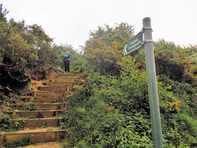
Image: © norman griffin Taken: 13 May 2017
Leading to the old rail track which used to run from Mansfield to Southwell There is a short section of footpath at the top which follows the old rail route eventually turning into a bridleway which joins the Southwell Trail at Farnsfield.
Images are licensed for reuse under creativecommons.org/licenses/by-sa/2.0
Image Location
Latitude
53.110373
Longitude
-1.063751