Slag Hills from Coldharbour Lane
Introduction
The photograph on this page of Slag Hills from Coldharbour Lane by norman griffin as part of the Geograph project.
The Geograph project started in 2005 with the aim of publishing, organising and preserving representative images for every square kilometre of Great Britain, Ireland and the Isle of Man.

There are currently over 7.5m images from over 14,400 individuals and you can help contribute to the project by visiting https://www.geograph.org.uk
Slag Hills from Coldharbour Lane
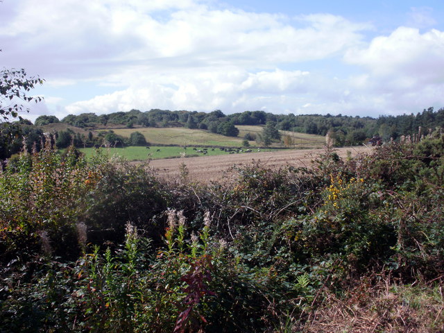
Image: © norman griffin Taken: 12 Sep 2010
A short distance down the lane from the view point at High Ordish picnic site.
Images are licensed for reuse under creativecommons.org/licenses/by-sa/2.0
Image Location
Latitude
53.131246
Longitude
-1.477604