Path Diversion High Oredish
Introduction
The photograph on this page of Path Diversion High Oredish by norman griffin as part of the Geograph project.
The Geograph project started in 2005 with the aim of publishing, organising and preserving representative images for every square kilometre of Great Britain, Ireland and the Isle of Man.

There are currently over 7.5m images from over 14,400 individuals and you can help contribute to the project by visiting https://www.geograph.org.uk
Path Diversion High Oredish
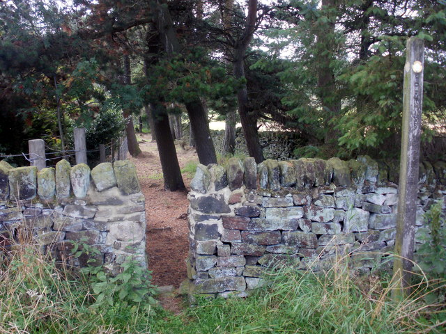
Image: © norman griffin Taken: 12 Sep 2010
Original path a few yards down Cold Harbour Lane.
Images are licensed for reuse under creativecommons.org/licenses/by-sa/2.0
Image Location
Latitude
53.133226
Longitude
-1.478327