OS flush bracket G2528
Introduction
The photograph on this page of OS flush bracket G2528 by Richard Law as part of the Geograph project.
The Geograph project started in 2005 with the aim of publishing, organising and preserving representative images for every square kilometre of Great Britain, Ireland and the Isle of Man.

There are currently over 7.5m images from over 14,400 individuals and you can help contribute to the project by visiting https://www.geograph.org.uk
OS flush bracket G2528
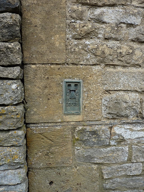
Image: © Richard Law Taken: 14 Aug 2017
An OS flush bracket affixed to the wall of a large farm cottage on the east side of the High Street; originally levelled in 1953 as part of the 3rd Geodetic Levelling of England & Wales at 229.075m above Ordnance Datum Newlyn.
Images are licensed for reuse under creativecommons.org/licenses/by-sa/2.0
Image Location
Latitude
51.931864
Longitude
-1.723806