The track past Cocked Hat Plantation
Introduction
The photograph on this page of The track past Cocked Hat Plantation by Tim Heaton as part of the Geograph project.
The Geograph project started in 2005 with the aim of publishing, organising and preserving representative images for every square kilometre of Great Britain, Ireland and the Isle of Man.

There are currently over 7.5m images from over 14,400 individuals and you can help contribute to the project by visiting https://www.geograph.org.uk
The track past Cocked Hat Plantation
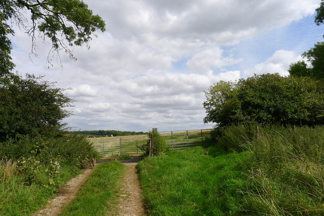
Image: © Tim Heaton Taken: 20 Aug 2017
A footpath follows the valley from Wyville (SK 884 292) to the road at Red Cottages (SK 908 283), and then on to Stoke Rochford as a bridleway. There is plenty of evidence for it on the ground, like arrow marker on this gate post, but it is not marked as a public right of way on OS maps.
Images are licensed for reuse under creativecommons.org/licenses/by-sa/2.0
Image Location
Latitude
52.846539
Longitude
-0.6611