Ballindarragh bridge [1]
Introduction
The photograph on this page of Ballindarragh bridge [1] by Michael Dibb as part of the Geograph project.
The Geograph project started in 2005 with the aim of publishing, organising and preserving representative images for every square kilometre of Great Britain, Ireland and the Isle of Man.

There are currently over 7.5m images from over 14,400 individuals and you can help contribute to the project by visiting https://www.geograph.org.uk
Ballindarragh bridge [1]
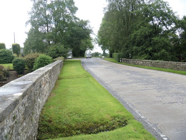
Image: © Michael Dibb Taken: 2 Aug 2017
The bridge carries Gola Road over the Colebrook River. The bridge straddles two grid squares and is listed, grade B1.
Images are licensed for reuse under creativecommons.org/licenses/by-sa/2.0
Image Location
Latitude
54.27178
Longitude
-7.492226