The road to Ashdon (north-east of Saffron Walden)
Introduction
The photograph on this page of The road to Ashdon (north-east of Saffron Walden) by Robert Walden as part of the Geograph project.
The Geograph project started in 2005 with the aim of publishing, organising and preserving representative images for every square kilometre of Great Britain, Ireland and the Isle of Man.

There are currently over 7.5m images from over 14,400 individuals and you can help contribute to the project by visiting https://www.geograph.org.uk
The road to Ashdon (north-east of Saffron Walden)
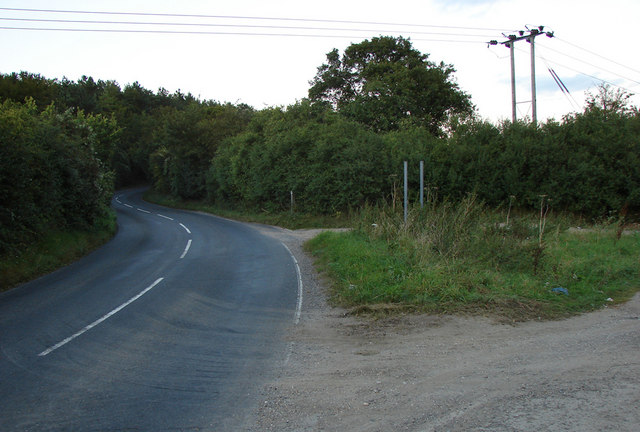
Image: © Robert Walden Taken: 10 Sep 2007
A well used and open gated farm track joins the Ashdon road at the bottom of the hill (before the Redgate junction)
Images are licensed for reuse under creativecommons.org/licenses/by-sa/2.0
Image Location


Leaflet Map data © OpenStreetMap
Latitude
52.028871
Longitude
0.270174