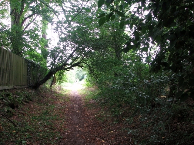
Bridleway approaching The Street in Ashby St Mary
Introduction
The photograph on this page of Bridleway approaching The Street in Ashby St Mary by Evelyn Simak as part of the Geograph project.
The Geograph project started in 2005 with the aim of publishing, organising and preserving representative images for every square kilometre of Great Britain, Ireland and the Isle of Man.
There are currently over 7.5m images from over 14,400 individuals and you can help contribute to the project by visiting https://www.geograph.org.uk

Image: © Evelyn Simak Taken: 29 Aug 2017
This path links The Street in Ashby St Mary with Sandy Lane, which is a route open to all traffic but on the ground no more than a path widening into a farm track and, at Low Common, it becomes the access roads to a handful of properties near the eastern end of the lane.

