An earlier A75?
Introduction
The photograph on this page of An earlier A75? by Peter Mackenzie as part of the Geograph project.
The Geograph project started in 2005 with the aim of publishing, organising and preserving representative images for every square kilometre of Great Britain, Ireland and the Isle of Man.

There are currently over 7.5m images from over 14,400 individuals and you can help contribute to the project by visiting https://www.geograph.org.uk
An earlier A75?
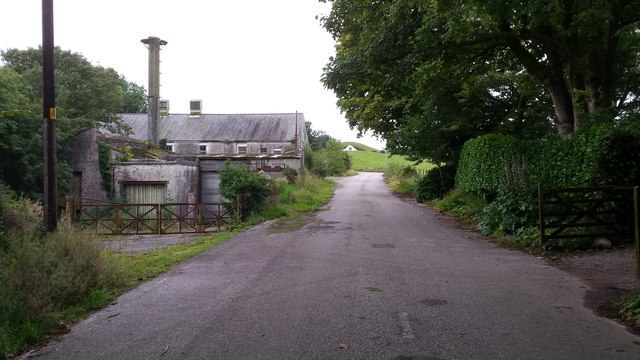
Image: © Peter Mackenzie Taken: 24 Aug 2017
There was a time when this was the main road from Dumfries to Stranraer, but thankfully long ago replaced by the present A75 trunk road.
Images are licensed for reuse under creativecommons.org/licenses/by-sa/2.0
Image Location
Latitude
54.87605
Longitude
-4.065029