River Gipping
Introduction
The photograph on this page of River Gipping by Andrew Hill as part of the Geograph project.
The Geograph project started in 2005 with the aim of publishing, organising and preserving representative images for every square kilometre of Great Britain, Ireland and the Isle of Man.

There are currently over 7.5m images from over 14,400 individuals and you can help contribute to the project by visiting https://www.geograph.org.uk
River Gipping
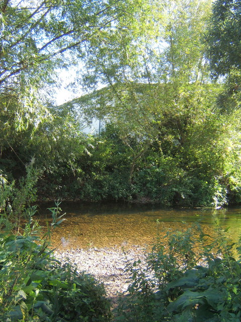
Image: © Andrew Hill Taken: 10 Sep 2007
The river and lake have the A14 hard by to the east and a large trading / industrial estate to the west. It is remarkable that they remain generally out of sight, although the traffic noise is ever present.
Images are licensed for reuse under creativecommons.org/licenses/by-sa/2.0
Image Location
Latitude
52.115669
Longitude
1.098313