Improved drain, Forge Wood
Introduction
The photograph on this page of Improved drain, Forge Wood by Robin Webster as part of the Geograph project.
The Geograph project started in 2005 with the aim of publishing, organising and preserving representative images for every square kilometre of Great Britain, Ireland and the Isle of Man.

There are currently over 7.5m images from over 14,400 individuals and you can help contribute to the project by visiting https://www.geograph.org.uk
Improved drain, Forge Wood
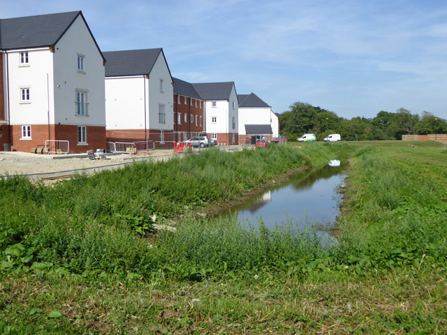
Image: © Robin Webster Taken: 28 Aug 2017
An existing ditch has been opened out (or replaced?), presumably to do with flood alleviation on the new Forge Wood development, which is built around the Gatwick Stream, off to the right. The virgin land to the right, between the ditch and the stream, will be left as a flood plain.
Images are licensed for reuse under creativecommons.org/licenses/by-sa/2.0
Image Location
Latitude
51.13906
Longitude
-0.156445