Plantation Cottage, Clapham Common, Patching
Introduction
The photograph on this page of Plantation Cottage, Clapham Common, Patching by Simon Carey as part of the Geograph project.
The Geograph project started in 2005 with the aim of publishing, organising and preserving representative images for every square kilometre of Great Britain, Ireland and the Isle of Man.

There are currently over 7.5m images from over 14,400 individuals and you can help contribute to the project by visiting https://www.geograph.org.uk
Plantation Cottage, Clapham Common, Patching
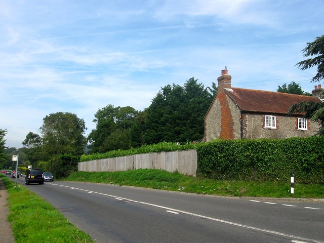
Image: © Simon Carey Taken: 28 Aug 2017
Located on the junction of Longfurlong and Clapham Cottage and at a point where the parish boundary deviates to the east of the former following the boundary of the cottage. The building dates back to the early 19th century.
Images are licensed for reuse under creativecommons.org/licenses/by-sa/2.0
Image Location
Latitude
50.841623
Longitude
-0.451273