Longfurlong
Introduction
The photograph on this page of Longfurlong by Simon Carey as part of the Geograph project.
The Geograph project started in 2005 with the aim of publishing, organising and preserving representative images for every square kilometre of Great Britain, Ireland and the Isle of Man.

There are currently over 7.5m images from over 14,400 individuals and you can help contribute to the project by visiting https://www.geograph.org.uk
Longfurlong
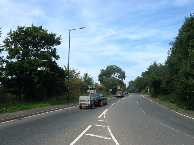
Image: © Simon Carey Taken: 28 Aug 2017
The A280 as it heads northwards from the Patching Interchange. The highway was for many centuries a route north to the Downs until it was turnpiked in 1823 and rerouted via Findon. The road itself forms the parish boundary between Clapham to the east and Patching to the west.
Images are licensed for reuse under creativecommons.org/licenses/by-sa/2.0
Image Location
Latitude
50.84091
Longitude
-0.451722