St Brannock's Road bus stop and shelter, Ilfracombe
Introduction
The photograph on this page of St Brannock's Road bus stop and shelter, Ilfracombe by Jaggery as part of the Geograph project.
The Geograph project started in 2005 with the aim of publishing, organising and preserving representative images for every square kilometre of Great Britain, Ireland and the Isle of Man.

There are currently over 7.5m images from over 14,400 individuals and you can help contribute to the project by visiting https://www.geograph.org.uk
St Brannock's Road bus stop and shelter, Ilfracombe
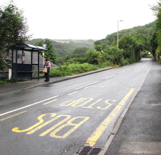
Image: © Jaggery Taken: 25 Jun 2017
Viewed across the A361 St Brannock's Road from the corner of Kingsley Avenue.
Images are licensed for reuse under creativecommons.org/licenses/by-sa/2.0
Image Location


Leaflet Map data © OpenStreetMap
Latitude
51.197081
Longitude
-4.123162