Fann's Farm
Introduction
The photograph on this page of Fann's Farm by Marathon as part of the Geograph project.
The Geograph project started in 2005 with the aim of publishing, organising and preserving representative images for every square kilometre of Great Britain, Ireland and the Isle of Man.

There are currently over 7.5m images from over 14,400 individuals and you can help contribute to the project by visiting https://www.geograph.org.uk
Fann's Farm
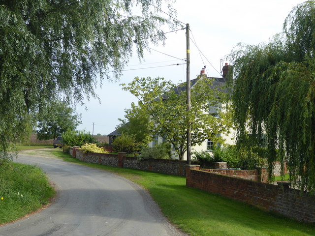
Image: © Marathon Taken: 26 Aug 2017
This is the view on an unnamed lane which leads off the B1057 (Dunmow Road) and back again. It is at the junction with a dead end road to Bushett Farm.
Images are licensed for reuse under creativecommons.org/licenses/by-sa/2.0
Image Location


Leaflet Map data © OpenStreetMap
Latitude
51.931524
Longitude
0.42149