Footpath to Finchingfield
Introduction
The photograph on this page of Footpath to Finchingfield by Marathon as part of the Geograph project.
The Geograph project started in 2005 with the aim of publishing, organising and preserving representative images for every square kilometre of Great Britain, Ireland and the Isle of Man.

There are currently over 7.5m images from over 14,400 individuals and you can help contribute to the project by visiting https://www.geograph.org.uk
Footpath to Finchingfield
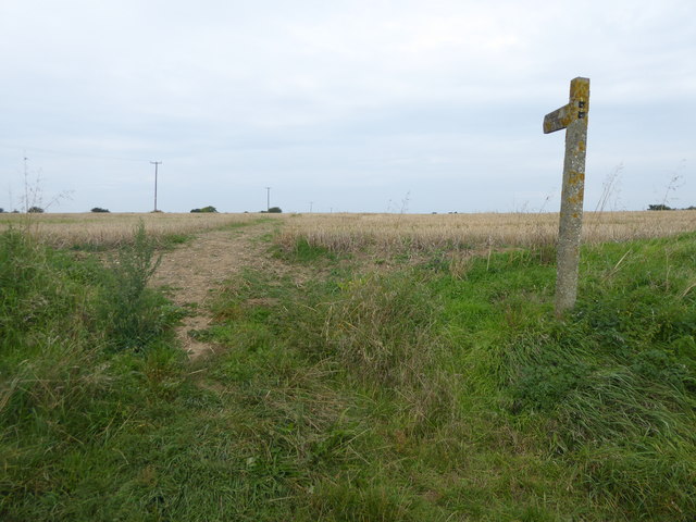
Image: © Marathon Taken: 26 Aug 2017
This footpath leads from Daw Street, from where this photograph was taken, to Mill Road on the edge of Finchingfield.
Images are licensed for reuse under creativecommons.org/licenses/by-sa/2.0
Image Location


Leaflet Map data © OpenStreetMap
Latitude
51.963933
Longitude
0.463125