Aberfeldy Branch
Introduction
The photograph on this page of Aberfeldy Branch by Richard Webb as part of the Geograph project.
The Geograph project started in 2005 with the aim of publishing, organising and preserving representative images for every square kilometre of Great Britain, Ireland and the Isle of Man.

There are currently over 7.5m images from over 14,400 individuals and you can help contribute to the project by visiting https://www.geograph.org.uk
Aberfeldy Branch
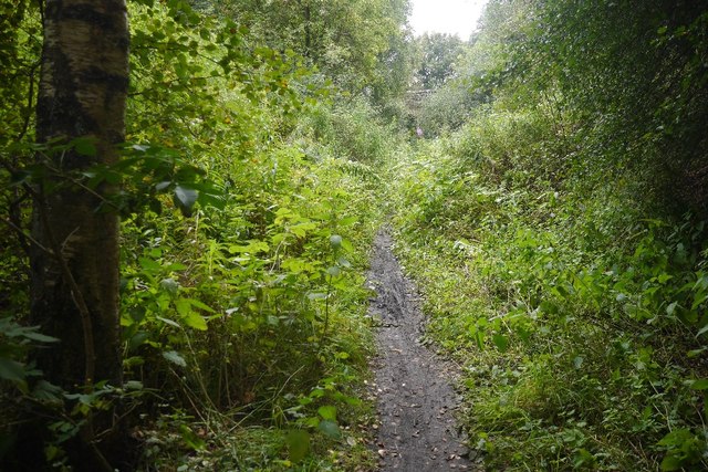
Image: © Richard Webb Taken: 20 Aug 2017
Closed in 1965, some of the trackbed is now a popular path. It is still in a raw state, so much more attractive than the tarred paths you often find.
Images are licensed for reuse under creativecommons.org/licenses/by-sa/2.0
Image Location
Latitude
56.655657
Longitude
-3.775832