Looking ESE along Ethelbert Crescent
Introduction
The photograph on this page of Looking ESE along Ethelbert Crescent by John Baker as part of the Geograph project.
The Geograph project started in 2005 with the aim of publishing, organising and preserving representative images for every square kilometre of Great Britain, Ireland and the Isle of Man.

There are currently over 7.5m images from over 14,400 individuals and you can help contribute to the project by visiting https://www.geograph.org.uk
Looking ESE along Ethelbert Crescent
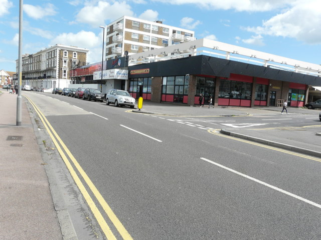
Image: © John Baker Taken: 30 Jul 2017
Just beyond Bugsy’s Tenpin Bowling establishment was Franks Nightclub. At present, the frontage is clad in scaffolding, above hoarding, which hides the ground floor. However, planning permission has been granted by Thanet District Council under application number F/TH/17/0132 for the “change of use from nightclub (use class sui-generis) to restaurant (use class A3), offices and [a] 1 3-bed self contained flat.
Images are licensed for reuse under creativecommons.org/licenses/by-sa/2.0
Image Location
Latitude
51.391652
Longitude
1.393165