Dry Dock, Langley Mill
Introduction
The photograph on this page of Dry Dock, Langley Mill by Stephen McKay as part of the Geograph project.
The Geograph project started in 2005 with the aim of publishing, organising and preserving representative images for every square kilometre of Great Britain, Ireland and the Isle of Man.

There are currently over 7.5m images from over 14,400 individuals and you can help contribute to the project by visiting https://www.geograph.org.uk
Dry Dock, Langley Mill
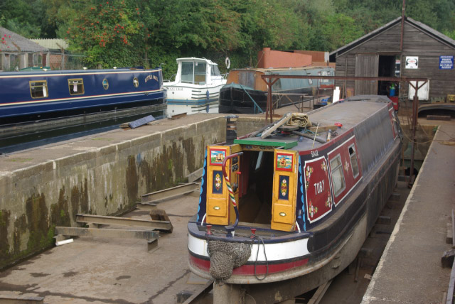
Image: © Stephen McKay Taken: 9 Sep 2007
A dry dock for narrowboats is one facility available here at the northern end of the Erewash Canal.
Images are licensed for reuse under creativecommons.org/licenses/by-sa/2.0
Image Location
Latitude
53.021256
Longitude
-1.324337