Londonderry / Derry
Introduction
The photograph on this page of Londonderry / Derry by Malcolm Neal as part of the Geograph project.
The Geograph project started in 2005 with the aim of publishing, organising and preserving representative images for every square kilometre of Great Britain, Ireland and the Isle of Man.

There are currently over 7.5m images from over 14,400 individuals and you can help contribute to the project by visiting https://www.geograph.org.uk
Londonderry / Derry
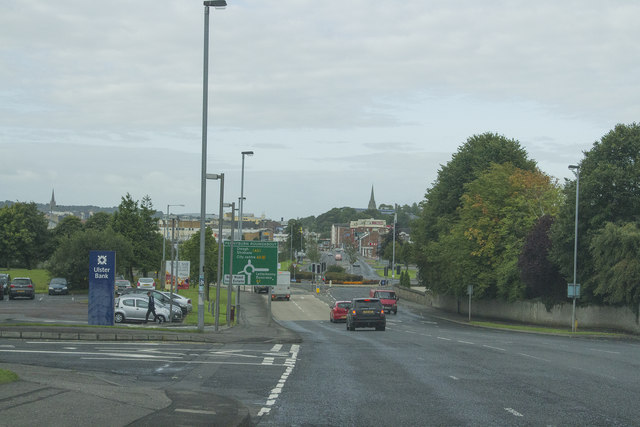
Image: © Malcolm Neal Taken: 19 Aug 2017
The spelling of the city name is disputed and you can often see the London part painted out by republicans and sometime the whole name painted out as people of Northern Ireland object to the part name Derry being left visible. To an outsider it all seems petty but it must be important to those who live here.
Images are licensed for reuse under creativecommons.org/licenses/by-sa/2.0
Image Location
Latitude
55.01435
Longitude
-7.3139