The southern end of Tatsfield Green
Introduction
The photograph on this page of The southern end of Tatsfield Green by Marathon as part of the Geograph project.
The Geograph project started in 2005 with the aim of publishing, organising and preserving representative images for every square kilometre of Great Britain, Ireland and the Isle of Man.

There are currently over 7.5m images from over 14,400 individuals and you can help contribute to the project by visiting https://www.geograph.org.uk
The southern end of Tatsfield Green
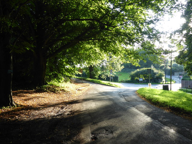
Image: © Marathon Taken: 25 Aug 2017
This is at the southern end of Tatsfield where Rag Hill Road, from where this photograph was taken, turns left into Church Hill. There is open country along Church Hill although St Mary's Church is further along Church Hill on the crest of the North Downs. Ian Nairn writing in the Buildings of England: Surrey in 1962 says of Tatsfield "A curiosity. High up on the North Downs: part of the shack colony of Biggin Hill, over the Kent border. This grew up about 1920 with tiny houses almost lost in foliage, which ironically makes just as effective a suburban landscape as the most contrived planting at Welwyn or Hampstead Garden Suburb. The estate was originally advertised in London as 'Come to London Alps'. The old village green is at the south end of this." This is still largely the case, except that Biggin Hill is now in the London Borough of Bromley. St Mary's Church he describes as "Further south again, by itself right on the crest of the Downs (790 feet), with a magnificent view south over the Weald."
Images are licensed for reuse under creativecommons.org/licenses/by-sa/2.0
Image Location
Latitude
51.291227
Longitude
0.033227