Site of Llanpumpsaint station, 2003
Introduction
The photograph on this page of Site of Llanpumpsaint station, 2003 by Ben Brooksbank as part of the Geograph project.
The Geograph project started in 2005 with the aim of publishing, organising and preserving representative images for every square kilometre of Great Britain, Ireland and the Isle of Man.

There are currently over 7.5m images from over 14,400 individuals and you can help contribute to the project by visiting https://www.geograph.org.uk
Site of Llanpumpsaint station, 2003
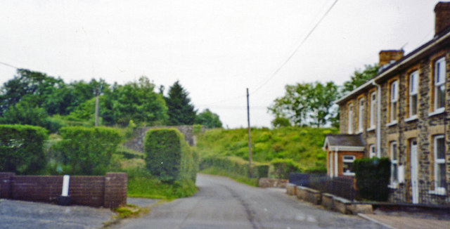
Image: © Ben Brooksbank Taken: 25 Jun 2003
View NW to the embankment of the former railway, the station having been just off to the right: ex-GWR Aberystwyth - Carmarthen line, which was closed 22/2/65, following permanent blockage further north by floods on 14/12/64; goods (milk) continued however, Carmarthen - Lampeter - Felin Fach until 1/10/73.
Images are licensed for reuse under creativecommons.org/licenses/by-sa/2.0
Image Location
Latitude
51.942354
Longitude
-4.307178