Block of flats, 38, Canterbury Road
Introduction
The photograph on this page of Block of flats, 38, Canterbury Road by John Baker as part of the Geograph project.
The Geograph project started in 2005 with the aim of publishing, organising and preserving representative images for every square kilometre of Great Britain, Ireland and the Isle of Man.

There are currently over 7.5m images from over 14,400 individuals and you can help contribute to the project by visiting https://www.geograph.org.uk
Block of flats, 38, Canterbury Road
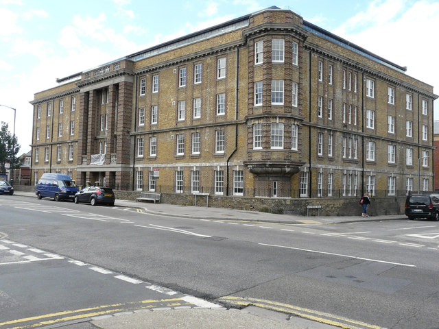
Image: © John Baker Taken: 30 Jul 2017
Planning permission was granted by Thanet District Council under application number F/TH/11/0893 for the “change of use of nurses home to 29 flats with erection of 5 storey extension to allow alterations to internal layout to existing building”. The Image appear to have been completed as there was a for sale board attached to the wall, to the right of the main entrance.
Images are licensed for reuse under creativecommons.org/licenses/by-sa/2.0
Image Location


Leaflet Map data © OpenStreetMap
Latitude
51.385192
Longitude
1.367673