South side of the A4093 overbridge, Thomastown
Introduction
The photograph on this page of South side of the A4093 overbridge, Thomastown by Jaggery as part of the Geograph project.
The Geograph project started in 2005 with the aim of publishing, organising and preserving representative images for every square kilometre of Great Britain, Ireland and the Isle of Man.

There are currently over 7.5m images from over 14,400 individuals and you can help contribute to the project by visiting https://www.geograph.org.uk
South side of the A4093 overbridge, Thomastown
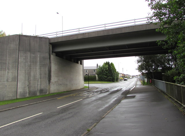
Image: © Jaggery Taken: 24 Aug 2017
This bridge is where Francis Street Thomastown on this side becomes Tynybryn Road Tonyrefail on the other side. The railings on the right are above the Ely River.
Images are licensed for reuse under creativecommons.org/licenses/by-sa/2.0
Image Location
Latitude
51.576762
Longitude
-3.435667