Chapel Lane, Auborn
Introduction
The photograph on this page of Chapel Lane, Auborn by Marathon as part of the Geograph project.
The Geograph project started in 2005 with the aim of publishing, organising and preserving representative images for every square kilometre of Great Britain, Ireland and the Isle of Man.

There are currently over 7.5m images from over 14,400 individuals and you can help contribute to the project by visiting https://www.geograph.org.uk
Chapel Lane, Auborn
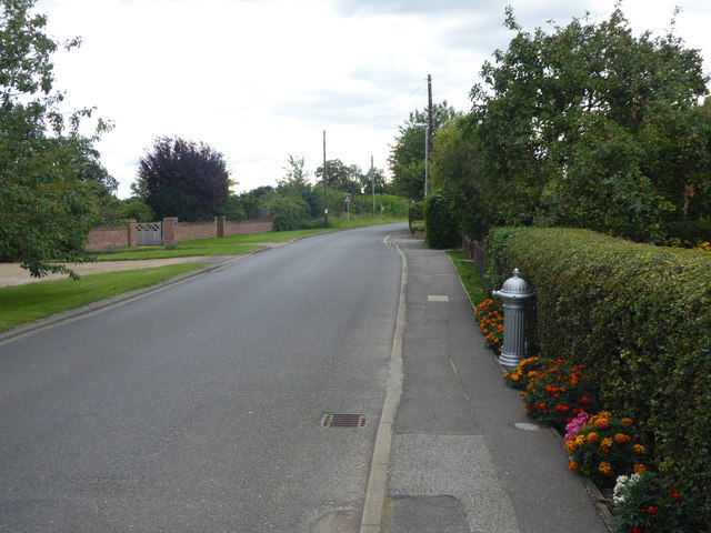
Image: © Marathon Taken: 12 Aug 2017
The village of Auborn operates a one-way system. Chapel Lane to the south goes west and Royal Oak Lane to the north goes east.
Images are licensed for reuse under creativecommons.org/licenses/by-sa/2.0
Image Location
Latitude
53.152645
Longitude
-0.621838