George Inn Lane
Introduction
The photograph on this page of George Inn Lane by Paul McIlroy as part of the Geograph project.
The Geograph project started in 2005 with the aim of publishing, organising and preserving representative images for every square kilometre of Great Britain, Ireland and the Isle of Man.

There are currently over 7.5m images from over 14,400 individuals and you can help contribute to the project by visiting https://www.geograph.org.uk
George Inn Lane
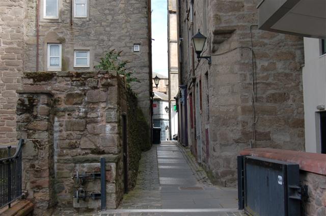
Image: © Paul McIlroy Taken: 6 Sep 2007
George Inn Lane links Mill Street to George Street. The Town Lade runs behind the wall on the left. Note the flood prevention gates.
Images are licensed for reuse under creativecommons.org/licenses/by-sa/2.0
Image Location
Latitude
56.397312
Longitude
-3.428878