Toller Porcorum : High Street
Introduction
The photograph on this page of Toller Porcorum : High Street by Lewis Clarke as part of the Geograph project.
The Geograph project started in 2005 with the aim of publishing, organising and preserving representative images for every square kilometre of Great Britain, Ireland and the Isle of Man.

There are currently over 7.5m images from over 14,400 individuals and you can help contribute to the project by visiting https://www.geograph.org.uk
Toller Porcorum : High Street
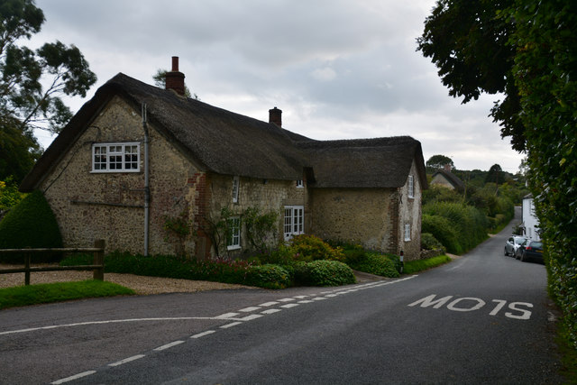
Image: © Lewis Clarke Taken: 19 Aug 2017
A house named Mary Jane Cottage is on the left. https://historicengland.org.uk/listing/the-list/list-entry/1228954
Images are licensed for reuse under creativecommons.org/licenses/by-sa/2.0
Image Location


Leaflet Map data © OpenStreetMap
Latitude
50.778561
Longitude
-2.623168