Site of Hopton Heath cutting
Introduction
The photograph on this page of Site of Hopton Heath cutting by Alan Murray-Rust as part of the Geograph project.
The Geograph project started in 2005 with the aim of publishing, organising and preserving representative images for every square kilometre of Great Britain, Ireland and the Isle of Man.

There are currently over 7.5m images from over 14,400 individuals and you can help contribute to the project by visiting https://www.geograph.org.uk
Site of Hopton Heath cutting
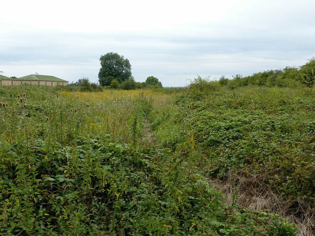
Image: © Alan Murray-Rust Taken: 16 Aug 2017
The former Great Northern Railway Uttoxeter to Stafford branch line ran through a 20 metre deep rock cutting at this point. It closed in 1951 and the cutting has since been filled in to the level of the surrounding land.
Images are licensed for reuse under creativecommons.org/licenses/by-sa/2.0
Image Location
Latitude
52.839759
Longitude
-2.087992