Noel's Almshouses, Stafford
Introduction
The photograph on this page of Noel's Almshouses, Stafford by Alan Murray-Rust as part of the Geograph project.
The Geograph project started in 2005 with the aim of publishing, organising and preserving representative images for every square kilometre of Great Britain, Ireland and the Isle of Man.

There are currently over 7.5m images from over 14,400 individuals and you can help contribute to the project by visiting https://www.geograph.org.uk
Noel's Almshouses, Stafford
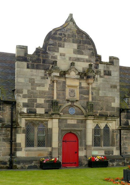
Image: © Alan Murray-Rust Taken: 16 Aug 2017
The central element of the group housed a chapel for the residents. Listed Grade II*. See http://www.geograph.org.uk/photo/5507336 for location and details.
Images are licensed for reuse under creativecommons.org/licenses/by-sa/2.0
Image Location


Leaflet Map data © OpenStreetMap
Latitude
52.805033
Longitude
-2.11922