Dunstan View, Seahouses
Introduction
The photograph on this page of Dunstan View, Seahouses by Bill Harrison as part of the Geograph project.
The Geograph project started in 2005 with the aim of publishing, organising and preserving representative images for every square kilometre of Great Britain, Ireland and the Isle of Man.

There are currently over 7.5m images from over 14,400 individuals and you can help contribute to the project by visiting https://www.geograph.org.uk
Dunstan View, Seahouses
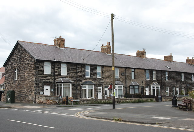
Image: © Bill Harrison Taken: 27 Jul 2017
Distinctive very dark stone: is it basalt or dolerite?
Images are licensed for reuse under creativecommons.org/licenses/by-sa/2.0
Image Location
Latitude
55.580082
Longitude
-1.653232