Open space on the east side of Portland Road
Introduction
The photograph on this page of Open space on the east side of Portland Road by Christine Johnstone as part of the Geograph project.
The Geograph project started in 2005 with the aim of publishing, organising and preserving representative images for every square kilometre of Great Britain, Ireland and the Isle of Man.

There are currently over 7.5m images from over 14,400 individuals and you can help contribute to the project by visiting https://www.geograph.org.uk
Open space on the east side of Portland Road
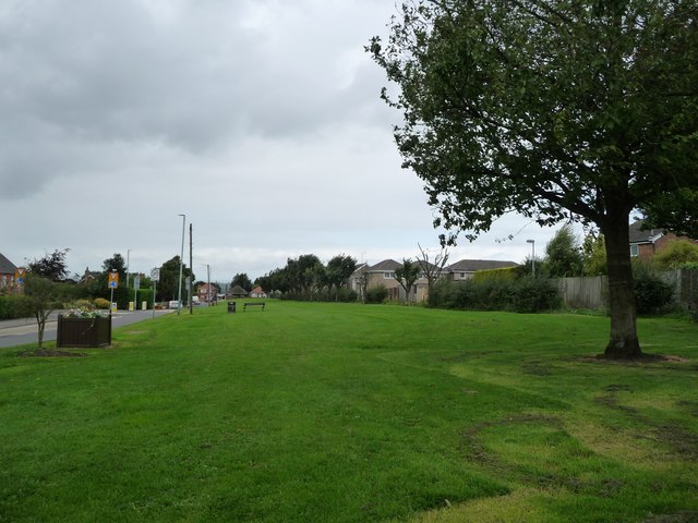
Image: © Christine Johnstone Taken: 19 Aug 2017
Maintained by the parish council. This is not the site of recently demolished buildings, as the same open space is clearly shown on OS maps from the 1880s.
Images are licensed for reuse under creativecommons.org/licenses/by-sa/2.0
Image Location
Latitude
53.076824
Longitude
-1.295853