Harvested fields near Kimpton
Introduction
The photograph on this page of Harvested fields near Kimpton by Bikeboy as part of the Geograph project.
The Geograph project started in 2005 with the aim of publishing, organising and preserving representative images for every square kilometre of Great Britain, Ireland and the Isle of Man.

There are currently over 7.5m images from over 14,400 individuals and you can help contribute to the project by visiting https://www.geograph.org.uk
Harvested fields near Kimpton
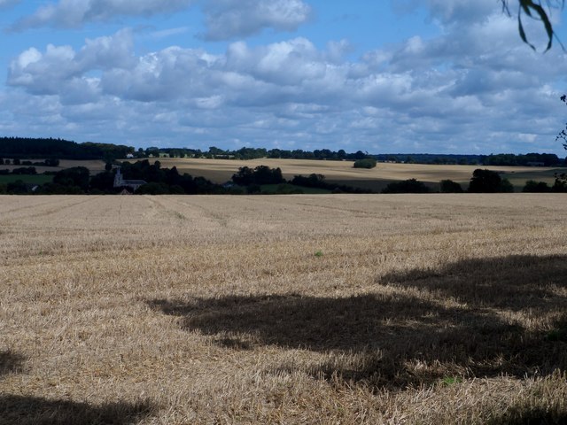
Image: © Bikeboy Taken: 20 Aug 2017
Taken from Ball Slough Hill on the other side of the valley. The church at Kimpton is just visible in the distance.
Images are licensed for reuse under creativecommons.org/licenses/by-sa/2.0
Image Location
Latitude
51.85083
Longitude
-0.294332